About 45 miles5,730 feet · Cuyamaca
Stonewall Peak at first light
A steady trail of switchbacks climbs to a granite summit with a railing, Lake Cuyamaca shining below and the desert lightening to the east. Go early, and dress for wind.
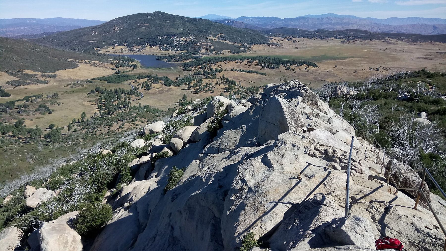
Stonewall Peak is the pale granite knob that rises above Highway 79 in the middle of Cuyamaca Rancho State Park. It is not the highest point in the park, but it may be the most rewarding short climb in these mountains: a well-made trail, a rocky summit with steps and a railing, and a view down to Lake Cuyamaca and out to the desert. For people who like to be on a summit when the sun comes up, it is an easy choice.
Switchbacks from Paso Picacho
The trail starts across the highway from the Paso Picacho day-use area and campground, which also serves the longer climb up Cuyamaca Peak. It climbs about 2 miles to the top, gaining something over 800 feet on a long series of switchbacks. The gradient is gentle and even, which makes it a good walk for families and for anyone climbing in the dark by headlamp.
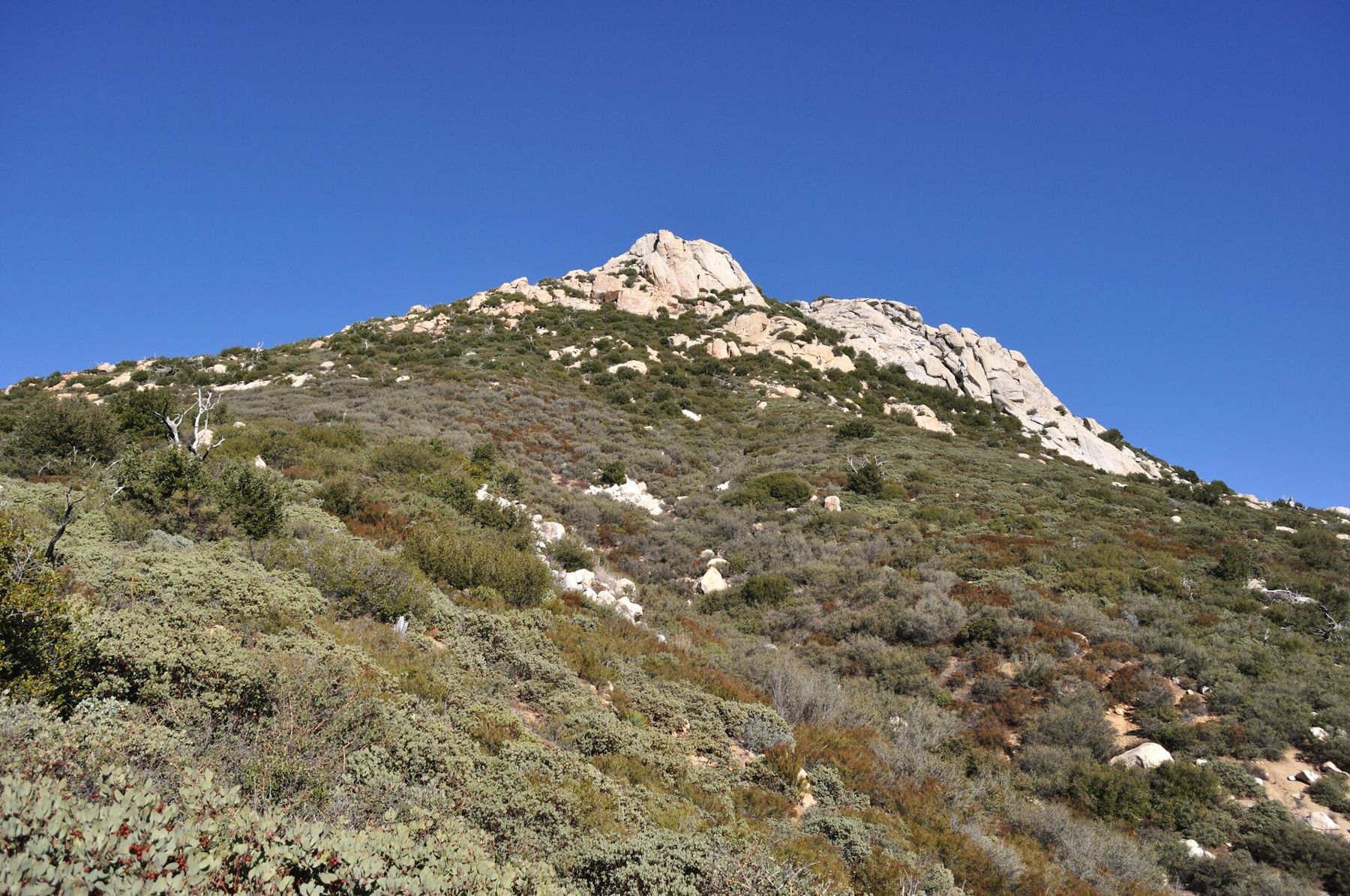
The lower trail runs through oaks and chaparral with views back over the meadows and toward Cuyamaca Peak. Higher up, the brush thins out and the granite starts to show, and the summit block appears above you in its full, rounded bulk. The last section crosses bare rock on steps cut into the stone, with a metal railing along the exposed edge.
- The summit has drop-offs; keep children close and stay inside the railing.
- The rock is slick when wet or icy, and the steps can hold frost on winter mornings.
- Dogs are generally not allowed on trails in state parks; check park rules.
Timing the climb for sunrise
Most people need about an hour to reach the top, a little more with stops. Look up the sunrise time for the day, then aim to leave the car park an hour and a quarter before it. That leaves time to find a sheltered spot on the summit and watch the sky change before the sun clears the horizon.
The east looks over the folded country toward the Anza-Borrego desert, so the sun rises over distant desert ranges rather than the sea. The first light catches the granite around you and turns it pink and gold, then spreads west over the meadows and the lake.
Bring a headlamp with fresh batteries, and check before you go whether the car park opens early enough for a pre-dawn start; access rules and hours can change, and a gate may be shut before a certain time. The roadside pull-offs along Highway 79 have their own restrictions.
Lake Cuyamaca and the meadows below
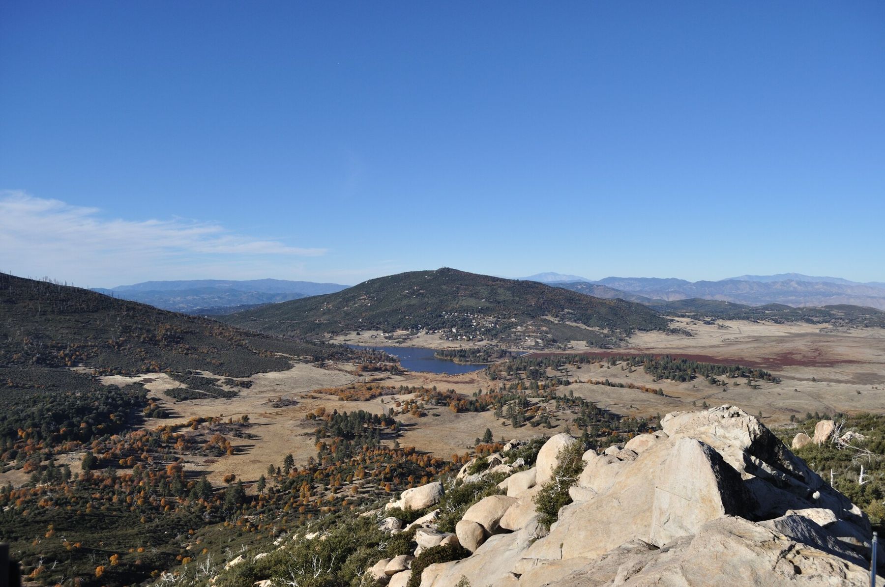
From the top, the best view is north. Lake Cuyamaca lies in a broad valley of grass and scattered oaks, its surface often still and silver at dawn. It is a reservoir created by a dam built in the 1880s, and for a time its water was carried down to San Diego by a long flume. Today it is a fishing lake with its own rules and fees, and its shoreline draws herons and other water birds.
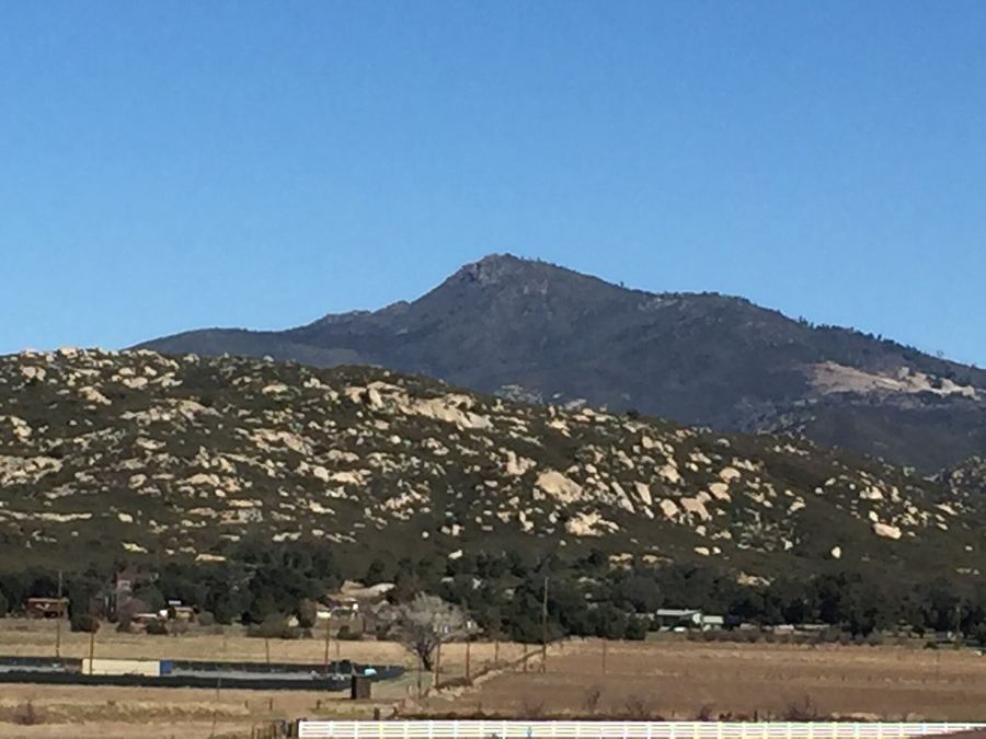 About 45 miles · 6,512 feetUp Cuyamaca Peak for a view to the sea and the desert
Around the lake, the meadows of the upper Cuyamaca valley stretch toward Julian. In winter and early spring, after rain, they turn green; by summer they are gold. In the distance to the north you can make out Volcan Mountain and, on clear mornings, Palomar Mountain.
To the west and south, Cuyamaca Peak dominates the skyline with its towers. If you want a longer day, it is a natural second climb from the same car park, told in up Cuyamaca Peak for a view to the sea and the desert.
Gold under the grass
The peak takes its name from the Stonewall Mine, a gold mine that worked the slopes near the lake in the late 1800s and for a while was one of the richest in the county. A small settlement grew up around it, and its ore helped feed the gold-rush economy that also built the town of Julian. The mine closed long ago, and little remains: fenced-off foundations, old machinery and interpretive signs at the mine site off Highway 79 near the lake.
The story of the wider gold rush, and of the discoveries around 1870 that started it, belongs to Julian; Julian's gold-rush past tells it street by street.
Wind, cold and the fire story
The summit is exposed, and wind is the rule rather than the exception. Even on calm mornings in the car park, it can be blowing hard on top, and in winter that wind brings temperatures well below freezing. A windproof jacket, a hat and gloves make the difference between enjoying the sunrise and leaving before it.
The forest around Stonewall Peak burned in the 2003 Cedar Fire, which swept through most of the park. From the summit you can still see grey snags of dead pines on the surrounding hills, with resprouting oaks and thick chaparral filling in below them. Fire danger is high in late summer and autumn, and the park may close trails on red flag days or after heavy storms.
A morning in the Cuyamacas
A good plan is simple: up in the dark, on top for first light, down by mid-morning while the trail is still cool. That leaves the rest of the day for the park's museum at the old stone headquarters, a walk around the lake, or a drive on to Julian or to the Laguna Mountains via the Sunrise Highway. Check park notices, road conditions and the forecast before you set out, and carry more water than the short distance suggests.