About 45 milesAbove 5,000 feet · Julian
The long view from Volcan Mountain
North of Julian, a steady climb from Farmer Road leads through oak woodland and conifers to a ridge that looks east over the desert and west toward the sea on clear days.
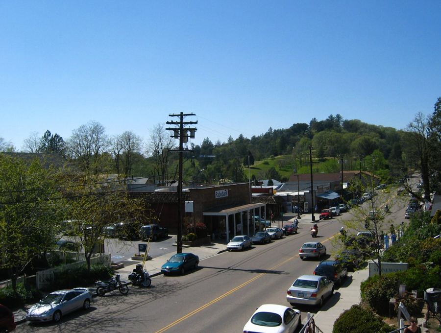
From Main Street in Julian you can see it to the north: a long, dark ridge rising above the orchards and the meadows, its upper slopes thick with oaks and conifers. That is Volcan Mountain, and much of its southern end is protected as the Volcan Mountain Wilderness Preserve, a county park with a single main trail that climbs to the high ground.
The name means volcano in Spanish, though the mountain is not volcanic. It is a block of old granite and metamorphic rock pushed up along faults, part of the chain of ranges that separates the coast from the desert.
Farmer Road and the gateway
The trailhead sits a couple of miles north of Julian, where Farmer Road meets Wynola Road. Parking is limited to a small area and the roadside, and on busy weekends it fills early. Arrive soon after opening, and park only where it is allowed; the roads here are narrow and the fields around them are private.
The trail begins at a gateway of stone and wood that frames the path and the mountain behind it. It is a fine piece of craft in its own right and a natural place to pause, read the posted rules, and check any closure notices before starting up.
A steady climb through oak and pine
The main route follows an old ranch road and is wide, clear and steady rather than steep. It is roughly three miles to the upper viewpoints, with well over a thousand feet of climbing; check the distances posted at the trailhead and allow most of a morning for the round trip at an easy pace.
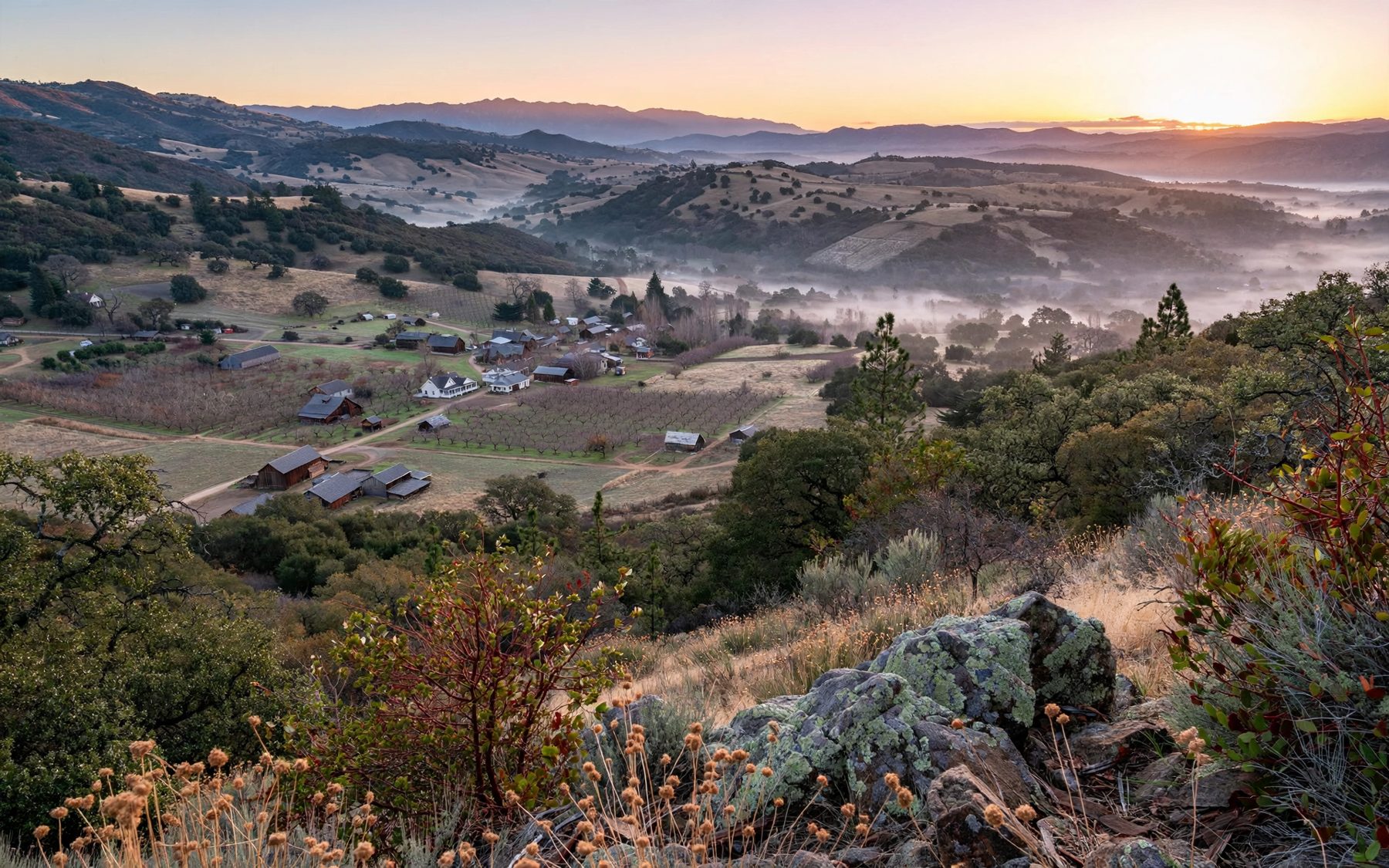
The lower slopes pass through grassland and black oak, which turns gold and bronze in autumn. Higher up the trees change to a mix of oaks and conifers, including tall pines and incense cedar. Wildflowers dot the grass in spring, and the shade is welcome on warm days. A narrower footpath branches off the main road for part of the way and rejoins it higher up, giving you a quieter alternative for one direction.
Watch for wildlife. Deer graze the meadows in the early morning, and hawks and ravens ride the wind along the ridge. Mountain lions live in these hills too, though they are rarely seen; keep children close and walk in company where you can.
 About 45 miles · Around 4,200 feetGold, granite and a mountain Main Street
East to the desert, west to the sea
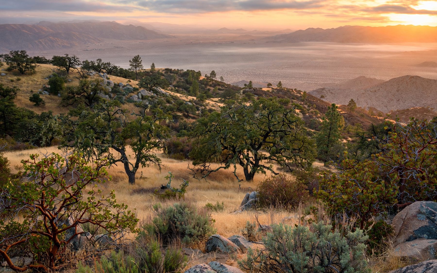
The reward is the view. Near the top, the land falls away to the east in a long descent toward the Anza-Borrego desert, and on clear days you can trace the pale valley floor and the badlands beyond, far below. Looking west, ridge after ridge steps down toward the coast, and on the clearest days the ocean shows as a thin bright line on the horizon.
To the north the mountains continue toward Palomar, and to the south lies the Julian valley, its orchards and the town spread out at your feet. It is the best place in the area to understand how the backcountry fits together: mountains in the middle, the sea on one side, the desert on the other.
Clear air comes most often after a winter storm has passed or on cool autumn mornings. In summer, haze often softens the far views.
The ridge has been a lookout for a very long time. Kumeyaay people knew these mountains intimately, gathering acorns from the oaks on the lower slopes and moving between the high country and the desert with the seasons. Standing at the top, with both worlds in sight at once, it is easy to see why a mountain placed exactly here mattered. Treat the place with the respect a landscape that old deserves, and leave it as you found it.
Weather on an exposed ridge
The upper mountain is exposed, and its weather can be very different from the town below. Wind is common along the ridge and can be strong enough to make the top feel bitterly cold even on a sunny day. In winter, snow and ice cover the trail at times, and fog can roll in quickly, hiding the view and the way down.
- Bring a windproof layer and a warm hat for the top in any season but high summer.
- Carry water; there is none on the trail.
- Start down early if clouds build or the wind rises sharply.
- Summer afternoons can be hot on the open lower slopes; walk in the morning.
Closures and rules worth checking
The preserve is a protected area first and a park second. Parts of the trail or the whole preserve can close for fire danger, storm damage, wet conditions or wildlife, and opening hours are set by daylight and the seasons. Check current conditions with the county parks before you go, especially in high fire season or after heavy rain or snow.
Rules on dogs, bikes and access can differ from other parks nearby, so read the notices at the gateway. Stay on the trail, carry out everything you bring, and leave the plants and rocks where they are.
Combining the mountain with the town
Volcan Mountain fits neatly into a day around Julian. Start early for the climb while the air is cool, then come down to town for a slow walk through the old blocks of Julian's gold-rush past. In autumn, the orchards along the road to Wynola are a short drive away, and the season is covered in apple season in the hills.
If the climb leaves you wanting more high ground, the summit of Cuyamaca Peak to the south gives a similar view from the second-highest point in the county.