About 40 milesAround 5,600 feet · Palomar Mountain
The white dome on Palomar Mountain
The 200-inch Hale Telescope sits under a dome you can see from far below. How to reach it by road or on foot, and what the mountain does to the weather.
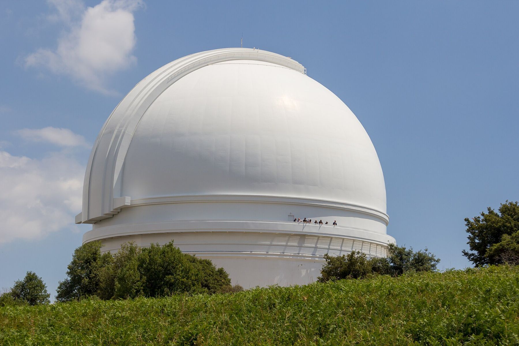
Somewhere on the drive up, the dome appears between the trees: a round white building on a ridge that looks far too clean for the backcountry. It belongs to Palomar Observatory, run by the California Institute of Technology, and inside it sits the 200-inch Hale Telescope. For decades after it was finished in the late 1940s it was the largest working optical telescope in the world, and it is still used for research on clear nights.
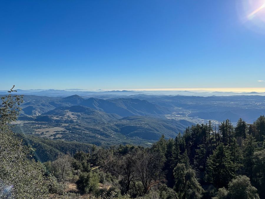
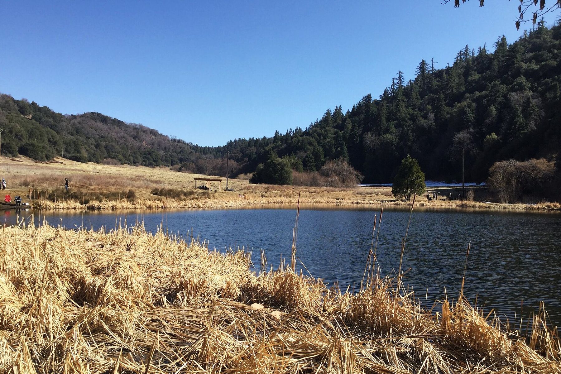
You come here for two things that sit side by side. One is the observatory itself, which lets visitors look at the telescope from a glassed-in gallery. The other is the mountain around it: cold air, tall conifers, black oaks and long views west over the ridges toward the sea.
Two grades and one summit road
Palomar Mountain has two paved approaches from Highway 76, and they feel nothing alike. County Route S6, the South Grade Road, climbs the western face in a tight run of hairpins. It is the quicker route but asks for patience, low gears on the way down and attention on every bend, because cyclists and motorcyclists use it heavily on weekends. County Route S7, the East Grade Road, leaves Highway 76 further east near Lake Henshaw and climbs at a gentler angle with wide views over the valley. Many drivers go up one and come down the other.
Near the top the two roads meet at a small crossroads with a few buildings, and S6 carries on north through the forest to the observatory gate. The last stretch runs past campgrounds and meadows in the Cleveland National Forest. There are few services on the mountain, so arrive with fuel and food.
- The South Grade is steep and twisty; it suits confident drivers and cars with good brakes.
- The East Grade is longer but easier, and a better choice in fog or after snow.
- Phone coverage is patchy on both, so download a map before you leave the valley.
What the gallery shows you
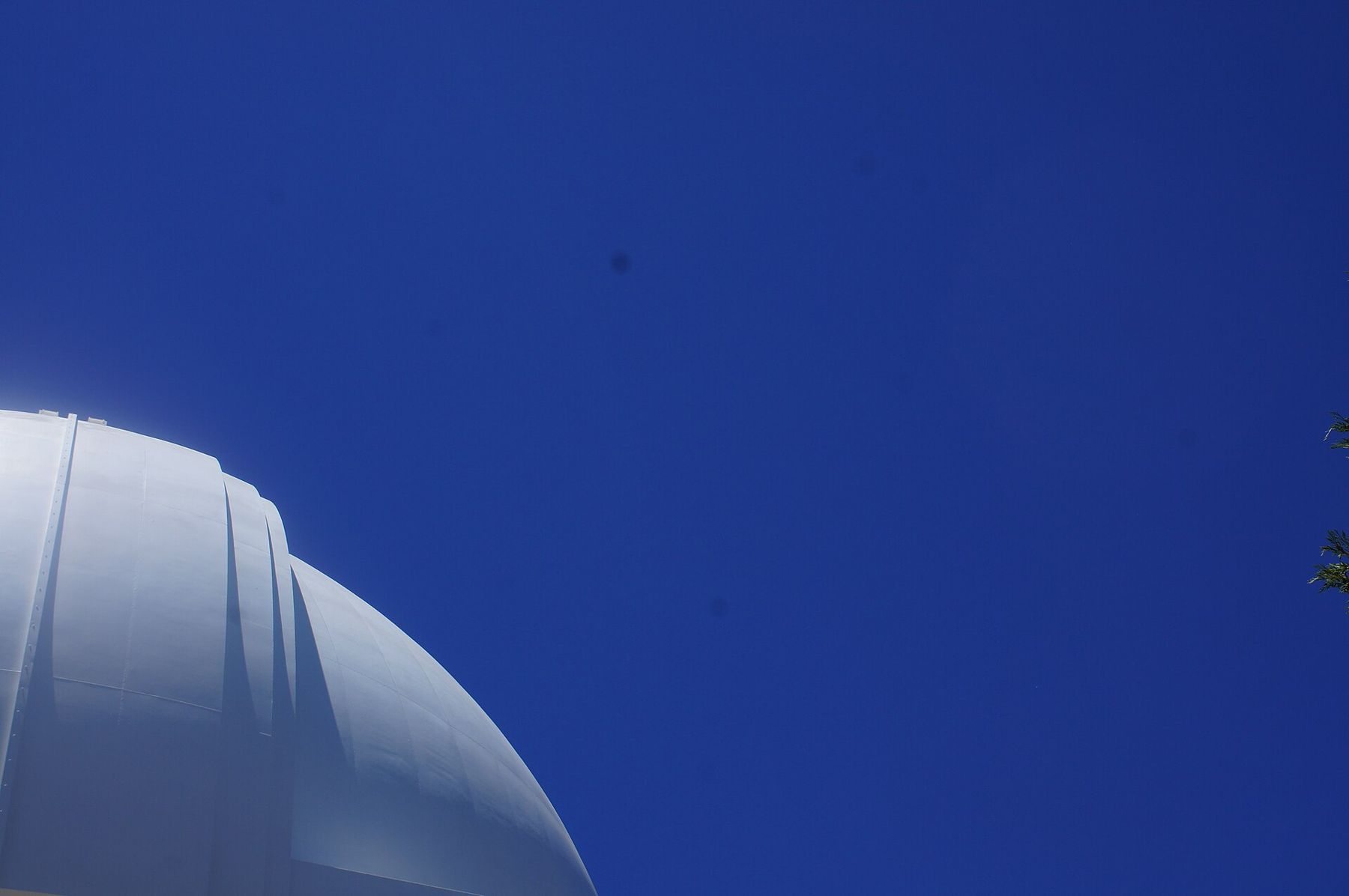
The telescope is not something you look through. Visitors walk into the dome and stand in a gallery behind glass, a floor or two above the mount, and look at the instrument from the side. The scale takes a moment to read. The tube is an open steel frame rather than a closed barrel, and the horseshoe-shaped bearing that lets it follow the sky is big enough to read from across the dome floor.
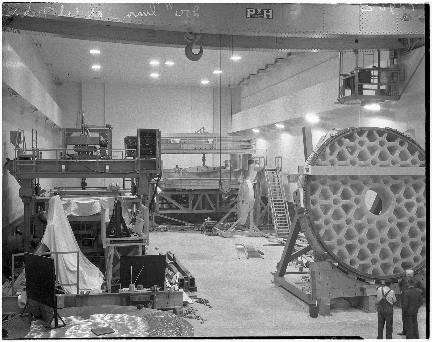
The mirror at the heart of it has a story of its own. The glass blank was cast in New York in the 1930s, shipped across the country by rail, and ground and polished in Pasadena over many years, with the work halted during the Second World War. George Ellery Hale, the astronomer who pushed for the project, died before it was finished, and the telescope carries his name.
A small museum near the dome explains the telescope and the work done with it, and guided tours run on some days in season. Opening days, hours and tour arrangements change through the year and sometimes close at short notice for research or weather, so check with the observatory before you plan around them. The grounds are a working research site: keep to the paths and signs, and keep voices low near the domes.
Walking up through the forest instead
If you would rather earn the view, the Observatory Trail climbs from the Observatory Campground to the edge of the observatory grounds. It runs a little over 2 miles each way through oak and conifer, with a few hundred feet of steady climbing and short open stretches that look down over the valleys and ridges to the east. Near the top, the dome shows itself through the branches before the trail meets the road.
The path is shaded for much of the way, which matters in summer, and it is easy to follow. In winter, shade also means ice. After a storm the north-facing sections can hold packed snow for days while the road is already clear, so traction aids are worth carrying from December into March.
 About 40 miles · Around 5,000 feetDoane Pond and the conifer forest on Palomar
The same ridge carries on to the west into a state park with its own pond and a fire lookout; the story of Doane Pond and the conifer forest covers that side of the mountain.
Clouds that build on the ridge
Palomar is high enough to make its own weather. On a typical morning in late spring the marine layer creeps inland from the coast and fills the valleys, and the summit sits above it in sunshine. By afternoon that cloud can rise and swallow the road. Fog on the South Grade is thick enough to turn the hairpins into guesswork, and many drivers wait it out or take the East Grade down.
Winter storms bring snow several times in most years. When snow falls, the county and the state may require chains on the grades, and the roads fill with families from the coast who want to see it. That combination of ice, chains and traffic is the reason to check road conditions before leaving and to carry chains you already know how to fit. Summer is mild compared with the valleys, but thunderstorms can build over the mountain on hot afternoons. If you hear thunder, leave exposed ridges and open meadows.
Palomar is high enough to make its own weather.
The cold is part of the visit. Even in May the early hours can sit close to freezing, and the dome car park is exposed to the wind. A warm layer and a hat cost nothing to bring.
Why the night sky here still matters
The observatory was built on Palomar in part because the mountain was dark, dry and far from city lights. The coast has grown a great deal since then, and the glow of the cities to the west and north is visible from the summit on any night. The telescope still works because of steady air and modern instruments, and because outdoor lighting in parts of the county is shaped with the observatories in mind.
For visitors, that means two things. First, the observatory grounds are generally closed at night, so the dome is a daytime visit. Second, if you want to see the stars with your own eyes, the darker skies are further east. Borrego Springs, down in the desert, has made a point of keeping its nights dark; the story of dark nights in Borrego Springs explains how. On the way, the high road along the Laguna Mountains passes another research observatory, and driving the Sunrise Highway makes a long, slow companion to the climb up Palomar.
A good day here starts early. Drive up while the valleys are still in shade, walk the Observatory Trail in cool air, see the gallery when it opens, and be back down the grade before the afternoon cloud and the weekend traffic arrive. Check the observatory's own visiting information, the road conditions and the forecast before you set out, and leave the mountain the way you found it.