About 55 miles4,000 to 6,000 feet · Mount Laguna
Driving the Sunrise Highway
County Route S1 runs along the crest of the Laguna Mountains, with pullouts above the desert, a mountain village, cattle on the road and long stretches without services.
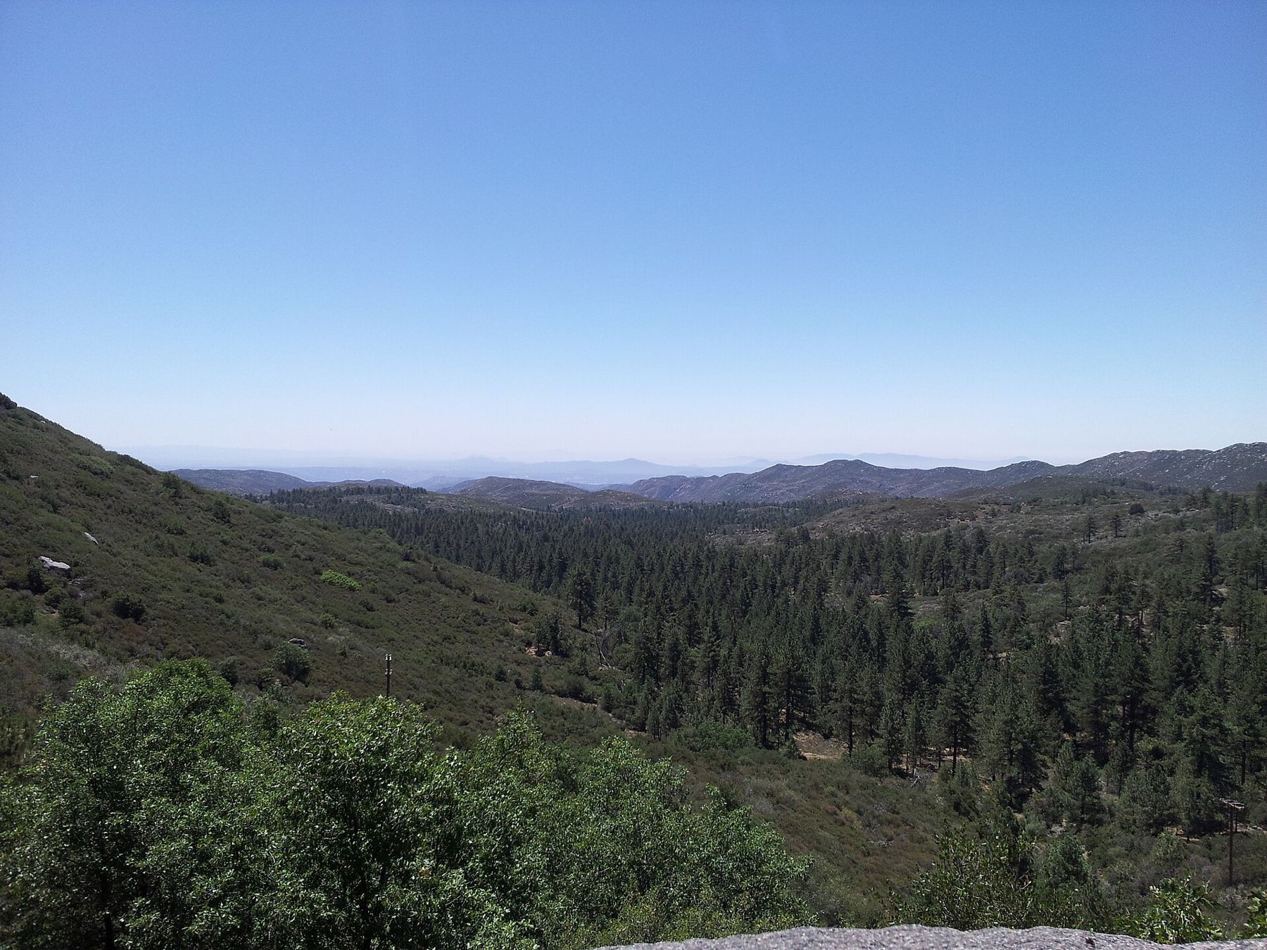
The Sunrise Highway is County Route S1, a two-lane road that runs along the crest of the Laguna Mountains in eastern San Diego County. It leaves Interstate 8 east of Pine Valley, climbs into the pines, passes through the small village of Mount Laguna, runs along the edge of the desert escarpment and drops down to meet Highway 79 near Lake Cuyamaca. It is about 24 miles long, and almost every mile has a view.
It is not a fast road. It twists, it climbs, and it shares its edges with deer, cattle, cyclists and people stopping to look. Driven slowly, with time for the pullouts, it is one of the best mornings out in the county.
Climbing out of the oaks
From Interstate 8 the highway climbs north through oak woodland and chaparral. The first few miles are steep with tight bends, and you gain height quickly. As the road rises, the oaks give way to Jeffrey pines and the air cools noticeably; on a summer morning it is often far cooler on top than in the valleys below.
The village of Mount Laguna sits at around 6,000 feet in the Laguna Mountain Recreation Area, part of the Cleveland National Forest. It has a few buildings, a forest visitor center that is open in some seasons, campgrounds and trailheads. Beyond it, there is little in the way of services until you reach Highway 79, and you should not count on finding fuel along the way. Fill up before you start.
Pullouts above the desert
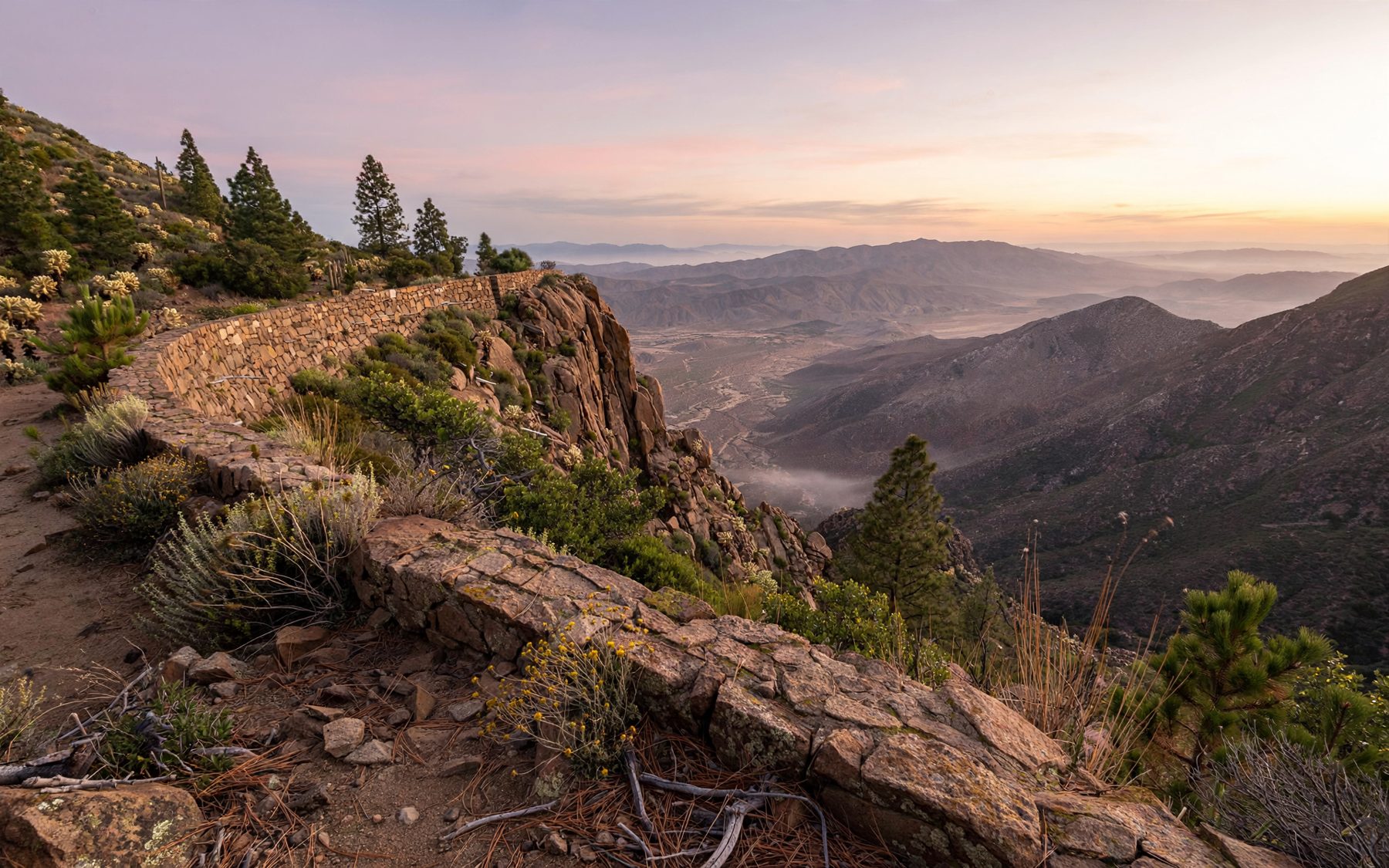
North of the village, the highway runs along the rim, and the land falls away about 4,000 feet to the Anza-Borrego desert. Several pullouts and picnic areas sit on the edge. Desert View picnic area is close to the village and the Desert View trail; the story of the Desert View trail along the escarpment follows that walk.
Further north, Kwaaymii Point is a high pullout named for the Kwaaymii, a Kumeyaay people of the Laguna Mountains. The view takes in the desert basin, the ranges beyond and, on very clear days, the Salton Sea. The Garnet Peak trailhead and the Pioneer Mail picnic area, named for the early overland mail route across this country, follow along the same stretch.
- Pull completely off the pavement; the shoulders are narrow and the bends blind.
- Many pullouts and picnic areas require a recreation pass; check before you go.
- The edges are steep and unfenced in places.
The observatory among the pines
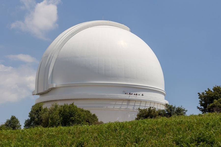
Near the village, on a ridge above the highway, stands Mount Laguna Observatory, operated by San Diego State University. Its domes are visible from the road in places. It is a working research site and is not generally open to drop-in visitors, though it has held public viewing nights at times; check with the university before planning around one.
 About 40 miles · Around 5,600 feetThe white dome on Palomar Mountain
The observatory is one reason why dark skies matter in this part of the county. Light from the coast washes the western sky, but the eastern sky, over the desert, is still dark. The darkest skies of all are further east in the desert town told in dark nights in Borrego Springs.
Cattle, deer and cyclists on the road
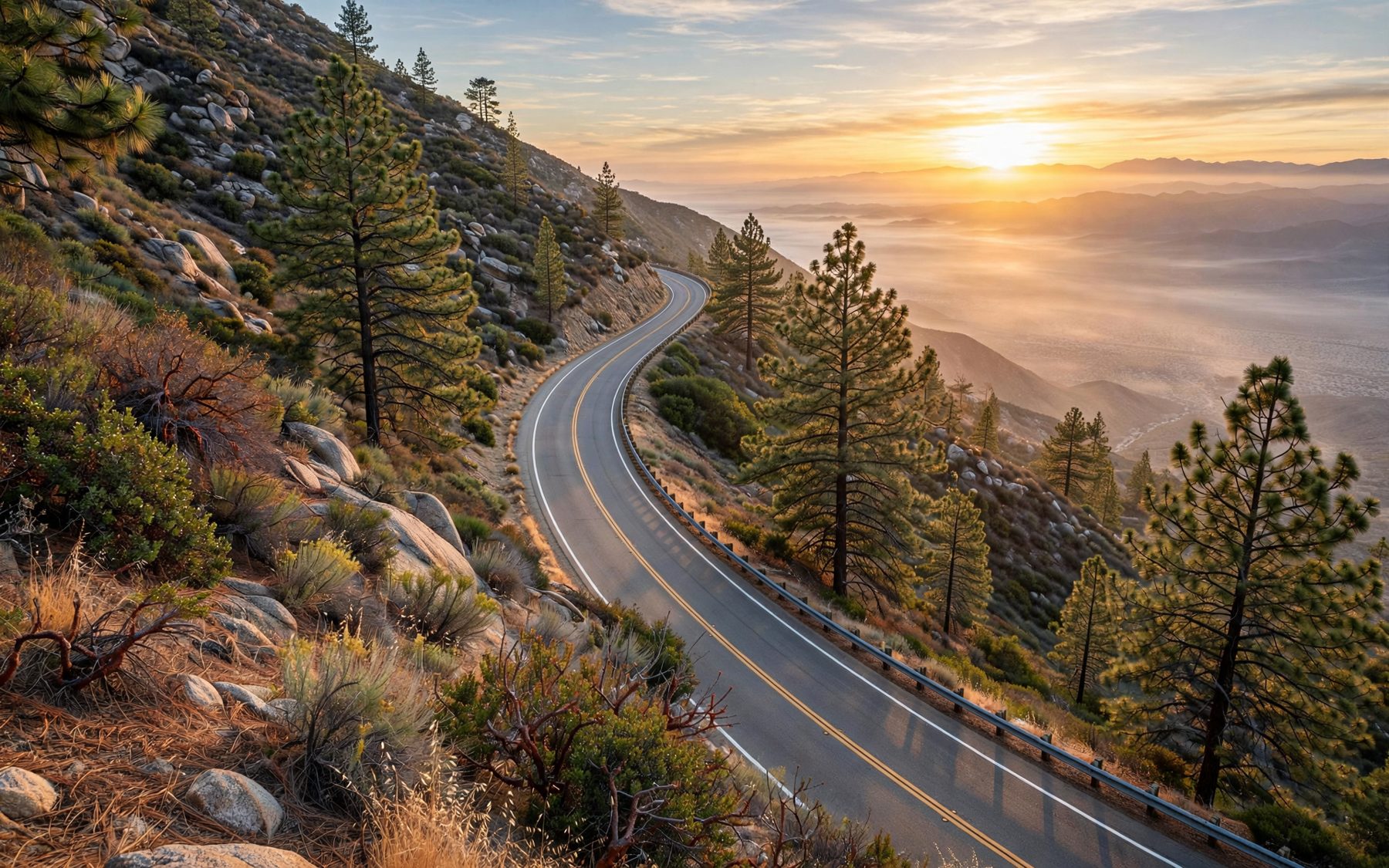
Parts of the Laguna Mountains are open range, and cattle graze the meadows in season. They wander onto the road, especially near Laguna Meadow and the cattle guards, and they do not move quickly. Mule deer are common too, most of all at dawn and dusk, when they cross without warning.
The Sunrise Highway is also popular with cyclists and motorcyclists, especially on weekend mornings. The combination of animals, bends and people on two wheels is the best argument for driving below the speed limit and keeping a wide margin on blind corners.
Winter on the crest
Snow falls on the Lagunas most winters, sometimes heavily. When it does, the road may require chains or close altogether, and crews clear it as conditions allow. The first snowy weekends draw large crowds from the coast, and the village and pullouts fill quickly. Ice lingers in shaded bends long after the snow is gone, and fog can drop over the rim with little warning in any season.
Check road conditions and chain requirements before you go, carry chains you know how to fit, and take warm clothes and water in case you are delayed. In summer, thunderstorms build over the mountains on hot afternoons, and fire restrictions are common in the dry months.
Where the highway ends
The northern end of the Sunrise Highway meets Highway 79 near Lake Cuyamaca. From there, the road south leads into Cuyamaca Rancho State Park and the climbs told in Stonewall Peak at first light, and the road north goes on to Julian. Driven early in the day, the whole run takes an unhurried morning, with time for the views and a walk at the rim.
Which way to drive is a matter of light. Heading north in the early morning puts the rising sun over the desert on your right at every pullout, with the escarpment lit from the side. Heading south in the late afternoon gives the opposite: the forest glowing, the basin sliding into shadow and the ranges beyond turning blue. Either way, allow far more time than the distance suggests. Stops at the overlooks, slow traffic behind cyclists and the odd cow on the centre line all add up, and the road rewards nobody in a hurry. Check conditions, fuel up and carry water before you turn off the interstate.