About 55 milesAround 6,000 feet · Mount Laguna
The Desert View trail along the escarpment
In the Laguna Mountains a short loop through Jeffrey pines meets the Pacific Crest Trail at the rim, where the land falls about 4,000 feet to the Anza-Borrego desert.
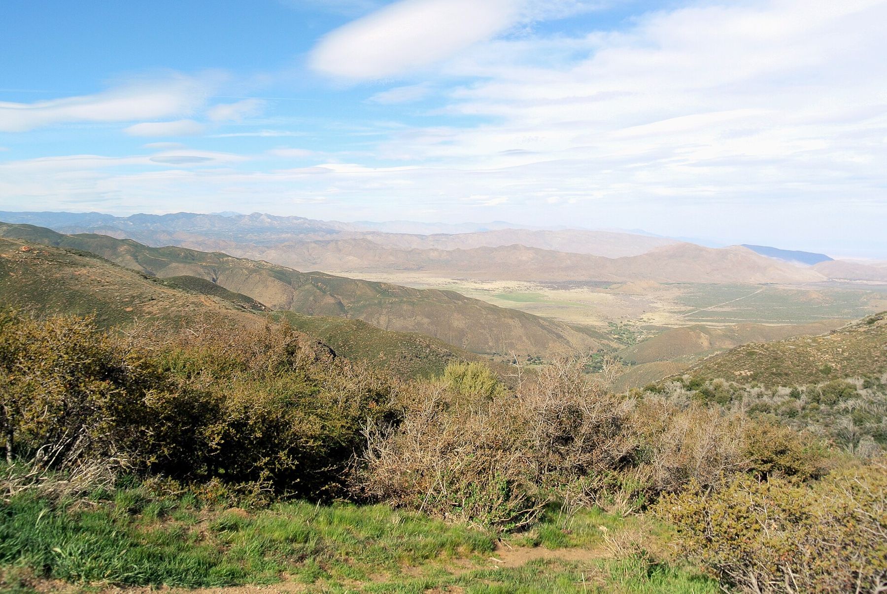
The Laguna Mountains end abruptly. For miles you drive or walk through open forest of Jeffrey pine and black oak, past meadows and campgrounds, and then the trees stop and the ground falls away. Below the rim, roughly 4,000 feet down, lies the floor of the Anza-Borrego desert: pale washes, dark ranges and, on clear days, the shimmer of the Salton Sea far to the northeast.
The Desert View trail is one of the easiest ways to stand on that edge. It is short, gentle and well marked, and it follows a section of the Pacific Crest Trail along the rim before looping back through the pines.
Pines on top, desert below
The area around the small village of Mount Laguna is managed as the Laguna Mountain Recreation Area, part of the Cleveland National Forest. It sits mostly between 5,000 and 6,000 feet, high enough for winter snow and cool summer days. The dominant tree is the Jeffrey pine, with long needles, large cones and bark that, warmed by the sun, gives off a scent that many people compare to vanilla or butterscotch. Put your nose to a crack in the bark on a warm afternoon and judge for yourself.
California black oaks grow alongside the pines and turn gold in autumn, and open meadows such as Laguna Meadow break up the forest. Cattle graze some of these meadows under permit in season, and mule deer are common at dawn and dusk.
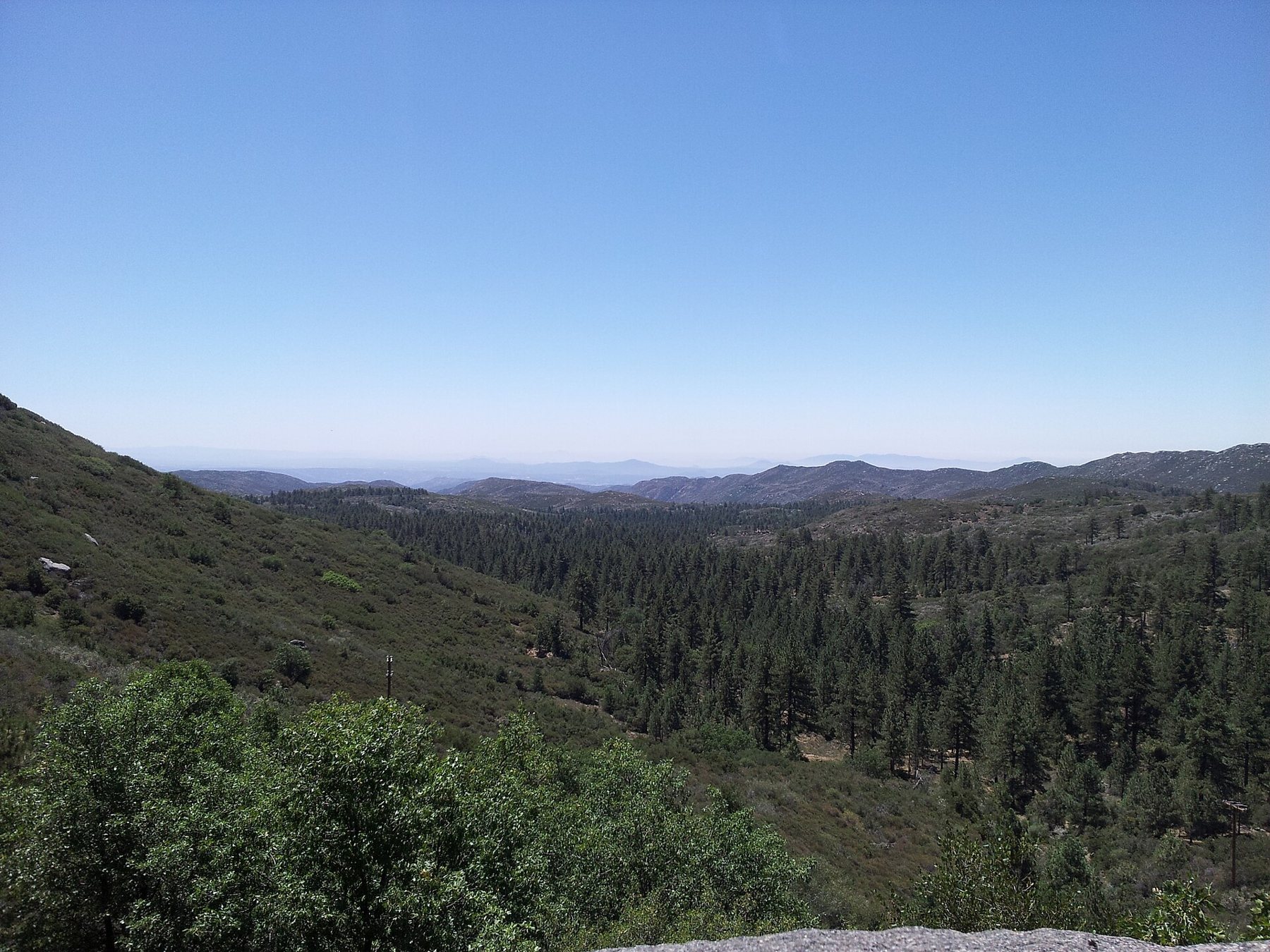
The meadows are also home to a creature that lives almost nowhere else: the Laguna Mountains skipper, a small, checkered butterfly that is listed as endangered. It depends on a low-growing plant called Cleveland's horkelia, and it flies in late spring and early summer. Staying on paths and off the meadow edges helps protect both.

The loop to the rim
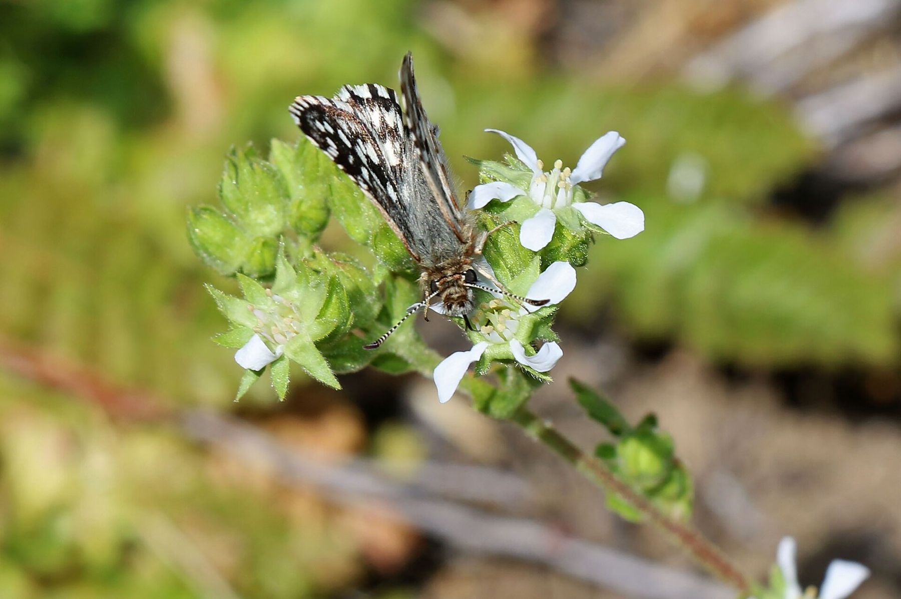
The Desert View Nature Trail is a loop of a little over a mile that starts near Burnt Rancheria Campground, a short way from the village along the Sunrise Highway. It climbs gently through the pines, joins the Pacific Crest Trail where the forest meets the escarpment, follows the rim for a stretch with open views east, and then turns back into the trees.
- The elevation means you may feel short of breath more quickly than at the coast.
- The rim has steep drop-offs without fences; keep children and dogs close.
- Campground access is seasonal; if the gate is closed, ask at the forest visitor center about other ways in.
The loop is short enough to walk twice, once early and once late, and the two walks feel quite different. In the first hour after sunrise the desert below is a sea of soft shadow, with only the tops of the ranges lit. By late afternoon the light has swung round behind you, and the escarpment itself glows while the basin turns hazy and blue. Midday is the flattest time, with the haze at its thickest and the sun overhead.
Along the rim there are several spots to stop and look. On a clear morning you can trace the line of the escarpment south toward the border and north toward the Cuyamacas, and look straight down into the canyons that drain into the desert. Binoculars help: the scale makes it hard to read distances, and features that seem close are often miles away.
 About 55 miles · 4,000 to 6,000 feetDriving the Sunrise Highway
Walking a few miles of a long trail
The Pacific Crest Trail runs from Mexico to Canada, and in San Diego County it follows the Laguna Mountains for many miles, often right along the escarpment. The section near Mount Laguna is one of the most scenic in the south, with the forest on one side and the desert on the other.
In spring, through-hikers heading north pass through the area in a steady stream, often just a few days out from the border. They are on a long, hard walk; be friendly, give them room on narrow sections and leave water caches and campsites alone.
You do not need a permit for a day walk on the trail here, but parking rules apply. Many sites in the recreation area require a national forest recreation pass or an equivalent federal pass displayed in your vehicle, and some campgrounds and day-use areas charge their own fees. Rules and prices change, so check with the national forest before you go.
You do not need a permit for a day walk on the trail here, but parking rules apply.
Snow, fog and the season's fires
Mount Laguna gets real winters. Snow can fall from November to April, and storms sometimes close the Sunrise Highway or bring chain requirements. On the first snowy weekends, traffic from the coast backs up toward the village. If you come in winter, check road conditions before you leave, carry chains and know how to fit them.
Fog is the other hazard. Clouds can pour over the rim from either side, and visibility on the highway can drop to a few car lengths with little warning. In summer, thunderstorms build over the mountains on hot afternoons; lightning on the exposed rim is a real danger, so head back into the trees or to your car if you hear thunder.


Fire is part of the story here too. Large fires have burned across these mountains over the decades, including the Cedar Fire of 2003 to the north. Fire restrictions on campfires and stoves are common in dry months. Check current restrictions and closures before you plan a cookout or an overnight stay.
Where the drive goes next
The Desert View trail fits easily into a day on the Sunrise Highway, the road that runs along the crest of the Lagunas from Interstate 8 to Highway 79. The story of driving the Sunrise Highway follows it overlook by overlook. To the north, the road leads into Cuyamaca Rancho State Park and the climb told in up Cuyamaca Peak.
The village of Mount Laguna, a few minutes from the trailhead, has a forest visitor center that is staffed in some seasons and is the best place to ask about trail conditions, passes and fire restrictions. Nearby trails lead to other viewpoints along the rim, among them the climb to Garnet Peak further north, a steeper walk to a rocky summit with a view down into the desert on three sides. Several campgrounds in the recreation area open for the warmer months and close in winter; dates shift with the weather, so check before you plan an overnight stay.
If the desert below the rim tempts you, it is a long drive down by road, but it is worth it: the palms of Palm Canyon sit at the foot of the same mountains, a world away in temperature. Whatever you do, start early, carry water and layers, and check the national forest's current notices before you set out.